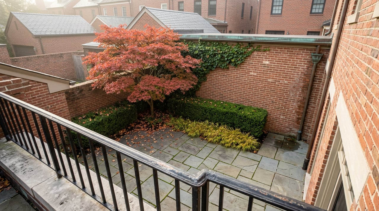
Walk to the east end of 51st Street and the sidewalk simply stops. A stone staircase drops down past a high brick retaining wall, past the entrance to a fenced dog run, and lands you on a pedestrian bridge that carries you over the roar of the FDR Drive to a sliver of esplanade along the East River. It feels like a secret, mostly because it is one. Most of Manhattan never sees this staircase. Most of the people who use it live within two blocks of it.
That bridge, and the small park it belongs to, has quietly defined the outer edge of daily life in Beekman Place for more than seventy years. What almost nobody realizes, including plenty of longtime residents, is that this dead end sits inside the single largest gap left in Manhattan's entire waterfront walking loop. The city is now actively designing the fix. Understanding why that stretch never got built, and what closing it will actually change about the walk from your own front door, is the real story here.
The Half-Mile Manhattan Never Finished
The Manhattan Waterfront Greenway is meant to run continuously from Battery Park past 125th Street, and for most of the island's edge, it does. Midtown has one significant hole in that loop: a six-tenths-of-a-mile stretch between 41st and 53rd Streets where the United Nations headquarters sits directly on the river's edge and forces pedestrians and cyclists off the water and onto First or Second Avenue to get around it.
Beekman Place, the two blocks between 49th and 51st Streets, sits inside that exact gap. So does the pedestrian bridge at the end of the block.
New York City's Economic Development Corporation has been chipping away at this problem for years under a program it calls the East Midtown Waterfront project, and it breaks the missing stretch into three distinct pieces. The southern piece, from 38th to 41st Street at the Waterside Pier, was finished back in 2016. The northern piece, from 53rd to 61st Street, is also done: the East Midtown Greenway there is open, it includes a pedestrian bridge over to East 54th Street, and it connects directly into Andrew Haswell Green Park at 62nd Street.
The middle third, the section that runs past the UN and directly past Beekman Place, is the one still being drawn. A design team led by AECOM was selected through a public process and began work in November 2023, and the city's own project page puts the design timeline at completion sometime in 2026. Construction dates for that middle segment haven't been set. But for the first time, both ends of the gap are built, and the piece connecting them is no longer a plan on a shelf. It's in active design.
What the Bridge at 51st Street Already Does, and Where It Stops
The park at the bottom of those stairs is Peter Detmold Park, a narrow 0.59-acre strip that runs along the west side of the FDR Drive from 49th to 51st Streets. It gets its name from a local civic leader who was stabbed and killed on a staircase in his East 48th Street brownstone in January 1972. The Turtle Bay Association and the local community board pushed to have the park named for him later that year, and the city council and Mayor John Lindsay signed off on it that July.
The footbridge over the highway, the one most residents use without a second thought, dates back further than that. It was completed in 1952, decades before the park had its current name, after years of debate over exactly where a public crossing should go and how much it would encroach on the park itself. What it does today is drop you onto a narrow strip of river esplanade, the kind of access most of Manhattan's waterfront has and Beekman Place has had for over seventy years. What it doesn't do is connect you very far in either direction. Head north or south from that bridge and the path runs out fast, because the UN campus blocks the river's edge just beyond it. That's the detour onto First and Second Avenue that the Greenway's own map still shows.
The Group Doing the Coordinating
The organization with the longest institutional memory on this stretch of the East Side is the Turtle Bay Association, a civic group founded in 1957 that has spent more than sixty years working with the city on zoning, transportation, and the neighborhood's parks and open spaces. Community Board 6 covers Turtle Bay, and it's the board the city's own project team has said it will keep returning to as the UN Esplanade design moves forward.
That same association is also the one running the neighborhood's actual social calendar, which is where the infrastructure story and the day-to-day one meet. Earlier this year the group hosted a happy hour inside the newly renovated space at Ánimo!, the Mexican restaurant on the Turtle Bay restaurant circuit, with the kind of complimentary appetizers and cash bar special pricing that reads exactly like what it is: a small, well-attended neighborhood event, not a marketing push.
What's Actually on the Fall Calendar
The bigger version of that same instinct returns this fall. The Turtle Bay Association has confirmed its second annual Taste of Turtle Bay for Saturday, October 3. The inaugural event last year ran from two to five in the afternoon, centered on Dag Hammarskjold Plaza at Second Avenue and 47th Street, where attendees picked up a wristband and a map before working their way through the neighborhood's own restaurants and shops. That first year's participating list included Ánimo!, Copinette, Foxy John's Bar & Kitchen, Kips Bay Gourmet Market Deli, La Cava Restaurant & Wine Bar, Madam Mikette's, Sip Sak, and Wines to Go.
Beyond the one afternoon in October, the everyday version of this corridor's food scene runs along First and Second Avenue rather than through Beekman Place itself, since the enclave's own two blocks are almost entirely residential. Sip Sak's Turkish menu and Rosemary's Midtown at Third Avenue and 50th Street are the kind of standing options residents already treat as their own, alongside Bukhara Grill on East 49th and the burgers at Turtle Bay Tavern on Second Avenue. None of it requires a special occasion. It's the texture of a short walk home.
A Walk That's About to Get Longer
None of this changes anything about the enclave's character, which has stayed remarkably consistent since the four-story brownstones went up along Beekman Place in the 1860s. What changes is the answer to a simple question: how far can you actually walk along the water without stepping into traffic. Right now, from the bottom of the 51st Street stairs, the honest answer is not far. Once the UN Esplanade design finishes and construction eventually follows, the same stretch of river that residents have accessed through one quiet staircase for seventy years should connect straight through to the piece that already opened to the north, all the way into Andrew Haswell Green Park.
For a neighborhood this small, that's not a minor footnote. It's the first real change to the physical edge of Beekman Place in decades, and it's happening because of a design contract most residents will never read, on a stretch of river most residents already think they know completely.
For those tracking how these small, specific shifts play out on the ground, in property values, board dynamics, and what a two-block enclave like this one is actually worth to hold or to sell, Eileen Foy has spent more than thirty years following exactly this kind of detail on Manhattan's East Side. Request a Private Consultation to talk through what it means for your building, your board, or your next move.